Gutsul ride
If you have any questions please call us
+38 096 212 40 71
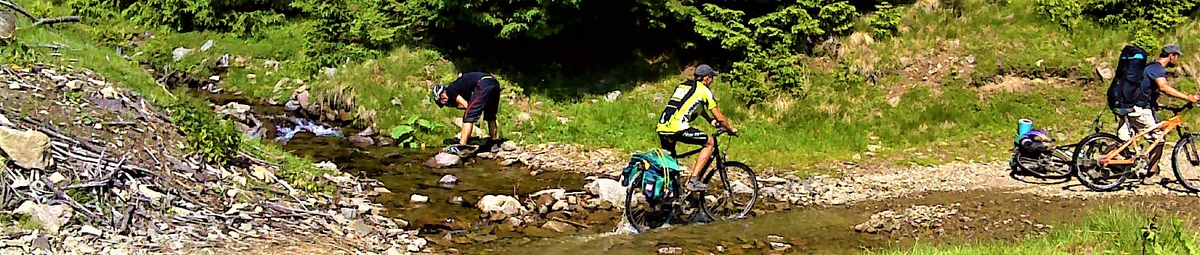
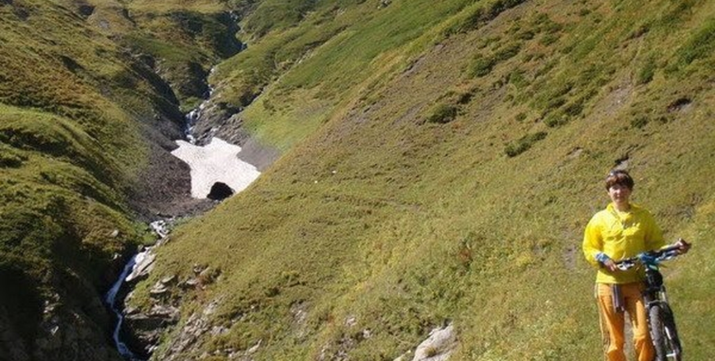
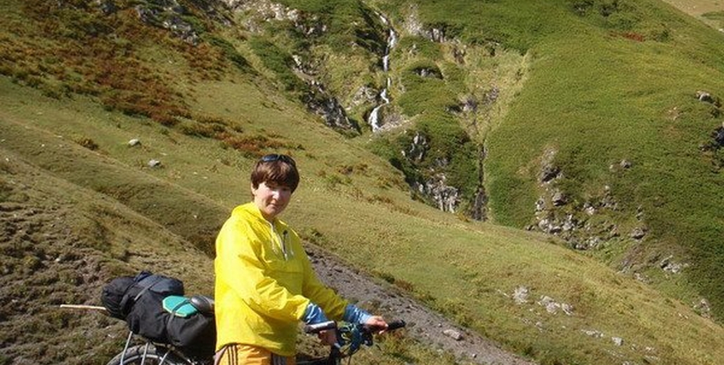
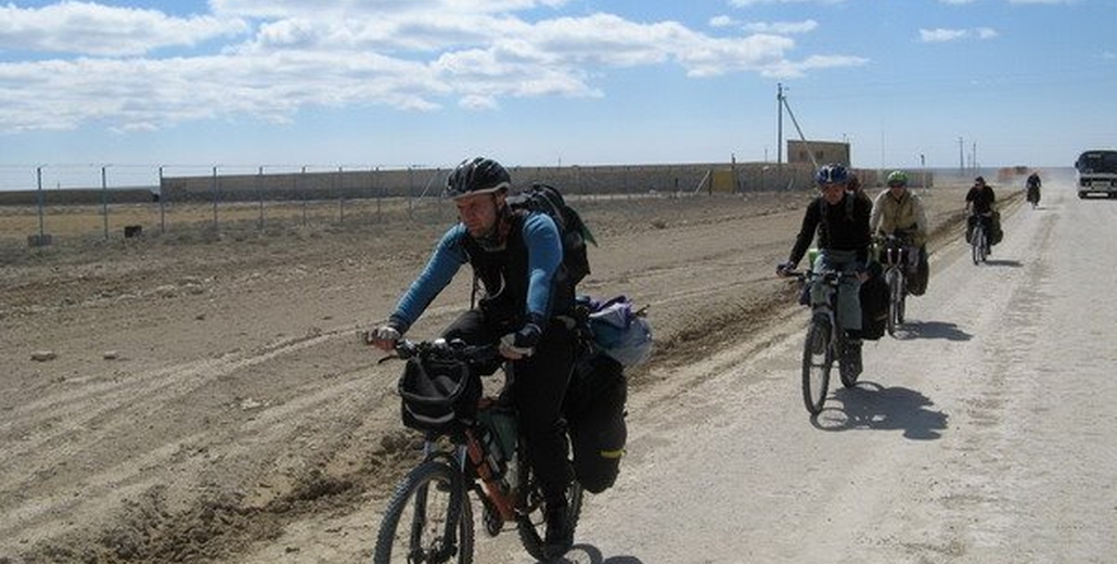
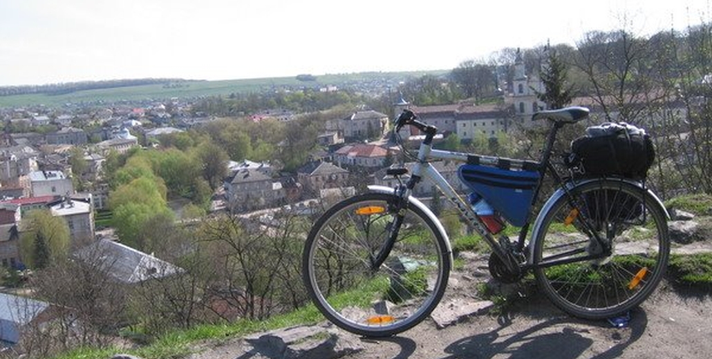
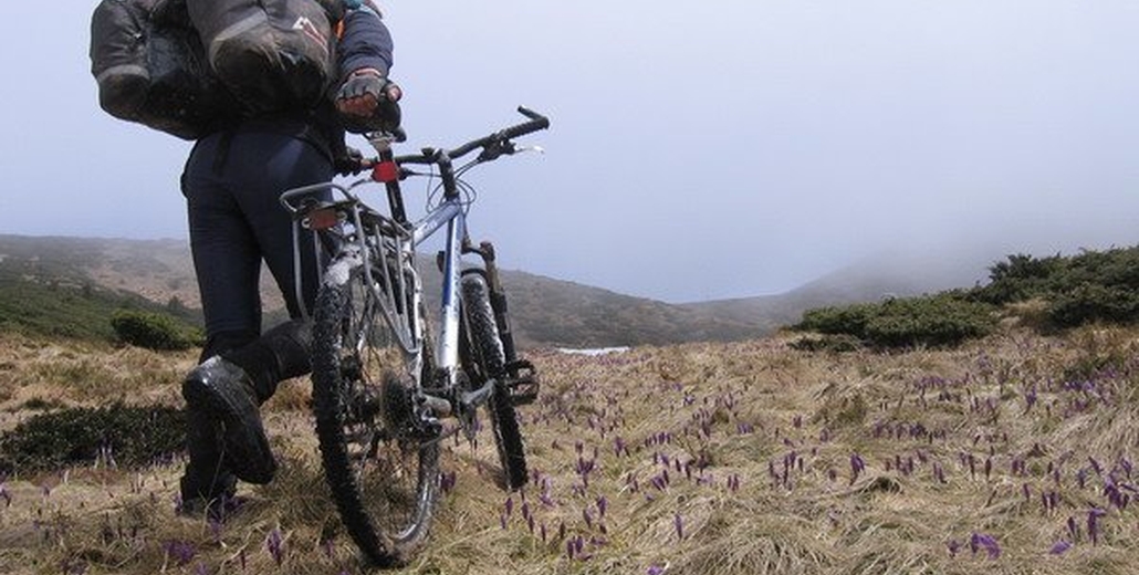
Travelling at the Carpathians by bike you will immerse into the atmosphere of picturesque mountains, where the magic nature is waiting for you, fresh Carpathian air revitalizes the feelings and heals the body, marvelous landscapes, mountain rivers and forests, scenic places of the western Ukraine, gutsuls hospitable culture. Romance and bright emotions are waiting for you during the bike tour in the Carpathians.
The bike tour includes the accommodation in the comfortable wooden cottage, delicious ukrainian home cuisine which are the main components of a wonderful recreation. Interesting routes of the tour across the mountain footpaths and ranges will unfold for you the most picturesque places, acquaint with the sights of architecture and help to unwind and relax from the drabness and routine of urban life. Enjoy the vivid recreation together with us in the bike tours in the Carpathians. Residence in a two-stored cottage, 4 persons in the floor, with the possibility to move to a double-bed rooms for a small extra charge.
Pay attention, that the tours start every weekend, so, you may for sure choose the most convenient date. There's an option of shortening the tour and joining for fewer days( it could be 2-7 days). It costs 500grn/day.
-
Rent of a bike and equipment (-100 hrn/day when using your own bike)
-
Food (breakfast, dinner) at the Veloraid base, sandwiches en route
-
Maintenance of instuctor
-
Accident insurance
-
Transfer according to the programme (for tour "By Carptian peaks" - auto-bike tour, within groups of 5 persons)
-
Transfer form Ivano-Frankivsk to Mykulychyn - 50 uah.
-
Entance tickets to Carpatian national park, museums, aviaries - 20 uah.
-
Sauna (by request) 400 uah\2 hour
Order of a day:
09:00 - 09:30 - Breakfast
09:30 - 10:00 - Gathering
10:00 - 10:15 - Departure for biking
15:00 - 17:00 - Returning to the base
17:00 - 18:00 - Shower, laundering
18:00 - 19:00 - Dinner
19:00 - 23:00 - Spare time
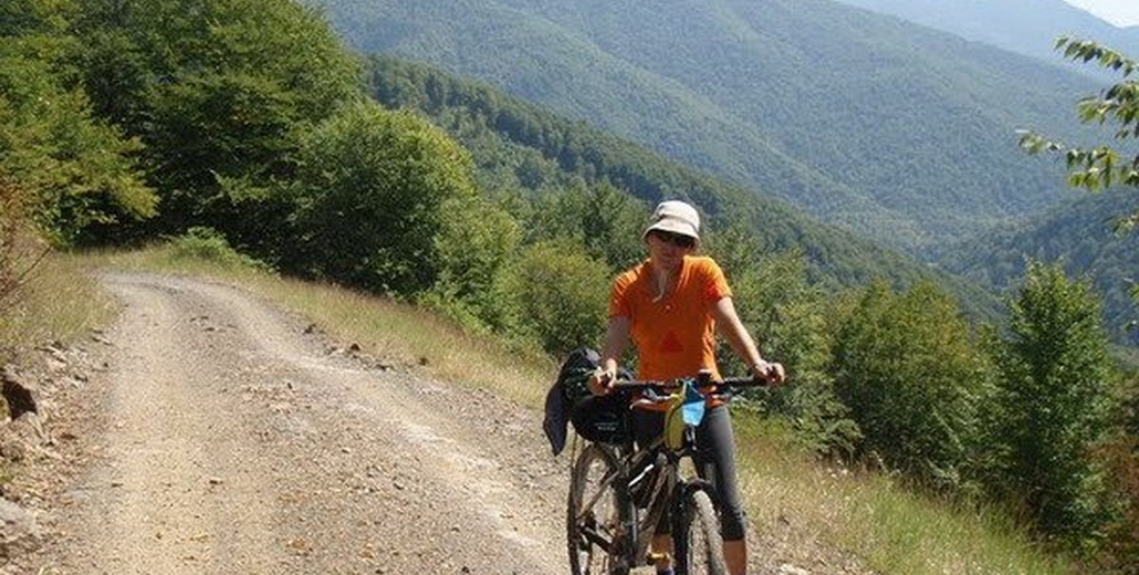
Morning. Arriving to Ivano-Frankivsk by train, transfer to Mykulychyn. Check in at the cottage, breakfast, gathering. After the acquaintance with the safety precautions go on to Yaremche, view the waterfall "Probiy", aviary farm of deers and wild bуars, waterfall "Maidan's Tears", monasteries, churches, markets of souvenirs, rocks. After the journey get back to the residence.
The interestingness of a day: The most interesting place in Yaremche - a eight-meters-high cascade waterfall "Probiy", over which extends the pedestrial bridge over the river Prut. From the one side of the bridge is a gutsul market, where you can buy various souvenirs, made by local craftsmen, on the other side - is an architectural monument - a restaurant "Gutsulshchyna". At the outskirts of the settlement from the side of Yaremche there is a footpath to the Dovbush Rocks beared his name as well. Local rocks and caves covered with legends about the renowned leader of Opryshky.
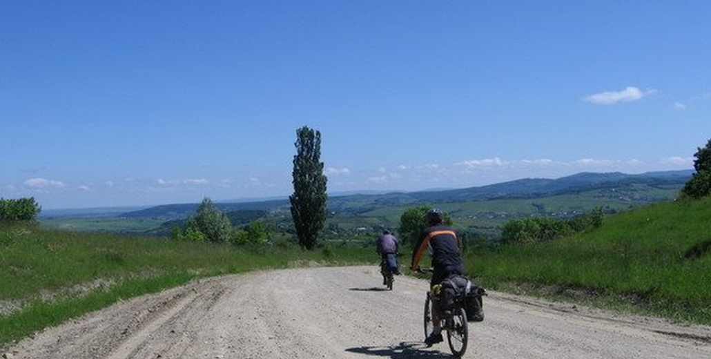
Plain relief, asphalt (40km).
Wake up in the morning, have breakfast and move on by bikes to the Guk Waterfall, by the route "Presidential". Next part of our route - Vorokhta with it's long stone bridges - viaducts, constructed at the time of Austrian Empire in 1894. In Vorokhta for thrill enthusiasts there is an air extreme Zip Line, to carry out a flight over the earth 700 meters long. After that we get back to Mykulychyn with our best impressions.
Interestingness of a day:
The Guk Waterfall: In the Carpathians almost the every third waterfall is Guk. Because they are loud, heard from afar - this means Guk. So let us call that one, located in a few kilometers from Mykulychyn, its full name - Guk Zhenetskiy. Totaly it means that it is loud and chase somewhere. Because the river, fallig from the 15-meters high with a loud noise is called Zhenets. (Means - the one thet hurries).
The railway arched bridge (viaduct): In Vorohta is located one of the oldest and the longest stone bridges in the Europe (130m), the length of one of its arche - 65m. That famous railway bridge was build in 1894 and was exploited till 2000. In Vorokhta is preserved one of the oldest wooden temples of XVII century - The church of Holy Mother's Birth. It was build in 1615, when Vorokhta was just a small settlement near the village of Mykulychyn. This temple is distinguished among other gutsul churches with its perfect proportions and harmonic forms.
Plain relief, soil\asphalt (45km).
Breakfast and today we have the halfway point of our tour. We'll spend it witout any loads, as tomorrow we are to climb up to the mountains. That day we will have a pleasant trip to a modern ski resort of Ukraine - Bukovel. We'll stop in Tatarov by the common grave of Austrian soldiers with the monument of the World War the First. In Bukovel we'll have an opportunity to ascent by ski-lift to the viewing platform, therefrom shows a wonderful view of the beauty Goverla and mysterious Gorgany. In the warmer months the is a possibility to swim in the lake.
Interestingness of a day:
Bukovel: The youngest and the most increasing ski resort of Ukraine. In Bukovel operates the bike park, three bike routes of different complexity, with total length about 11km. In creation of this park took part the director and the creator of the bike park in Czech Republic.
Plain relief, asphalt (50km).
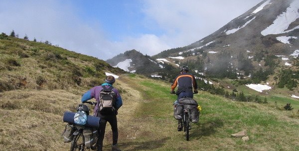
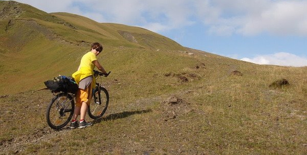
Have breakfast and hurry up to the train at 10:00 to approach the beginning of our next route. It starts at the border between Ivano-Frankivsk region and Transcarpathia in the village Voronenka. The route lies at the old Polish-Czech border on the altitude 1000m till the pass Berkut. From the pass would be a great high speed downhill.
Interestingness of a day:
The Yablunytskiy (Tatarskiy) Pass: The altitude - 931m above the sea level. Situates at the teritory of Gutsul land, at the border between Transcarpathia and Ivano-Frankivsk region, at the south-western suburbs of Yablunytsia. Through this Yablunytskiy pass in the XIII century passed to the South-Western Europe the Mongol Horde (it gave the pass its second name). On the pass there is a big souvenirs market, known in Carpathians as well as in Ukraine. There you can buy unique ware of craftsmen made of leather and fur, steel, wood and ceramics.
Plain relief, soil\asphalt (35km).
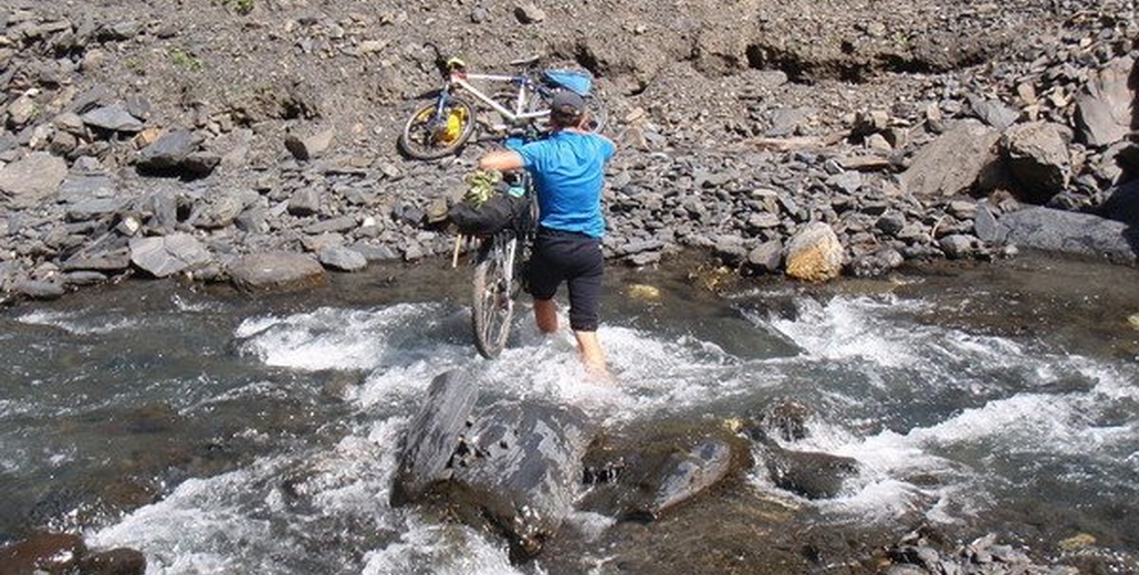
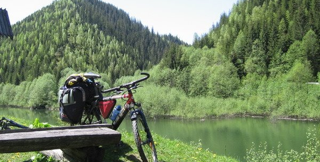
Breakfast. Mounted the bikes we can quickly get to a fabulous place made of stone and water - it is a canyon of the river Prytets-Chemegivskiy. It's worth to hold on there, to walk between huge boulders and rocks covered with moss of various colours. If the weather is fine you can swim. Then move forward by the road along the canyon to the place where the oil tracks are filled to transport the black gold to the Nadvirna Petruleum Refinery. Getting to the last house of the village without electricity or any other benifits of civilization - we go back to our residence.
Interestingness of a day:
Canyon on the river Prutets-Chemegivskiy: Along the river Prytets was formed a rocky canyon, which streched for many kilometers and impresses by its beauty. Moving along the canyon you observe its various nature, extremely rich flora grown into its stone walls. The rest of an old narrow railway stretches along the canyon, once the wood was transported there.
Plain relief, soil\asphalt (35km).
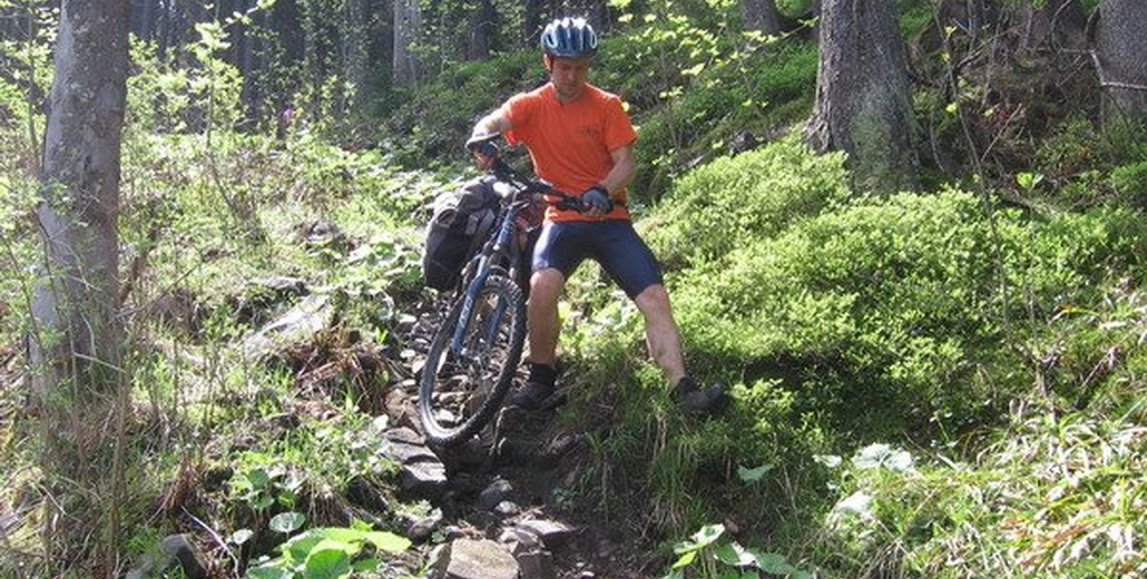
In the morning we have breakfast and again mount our bikes. The route starts near the bridge through the river Prutets. Along the river move to the rocks Kostel, the asphalt soon ends and starts difficult ascent to the mountain, but berries on the sides of the road help to forget about the difficulties of the way. Go forward to the mount Rokyta. There, in a gutsul's kolyba get acquainted with shepherds, and taste original cheese of Polonyna (budz, vurda) and butter. We make photoes at the top, have lunch and go through the picturesque polonynas to the mountain Makovytsa, then descent to Yamna, going back to the place of residence.
Interestingness of a day:
The mountain Kostel (or Kost'ol): Rises as a mighty rock.
The mountain Rokyta (1111m above sea level): In clear weather from Rokyta a half of Gutsul land is visible and although it's "gate" - the town Kolomyja, and the capital of Precarpathian region - Ivano-Frankivsk. Looking from another peaks it can be easily found for distinct guidance - a powerful retransmission tower.
The mountain Makovytsia: The peak of this mountain as well as its slopes are injured by trenches and fosses, duged during the World Wars the First and the Second. Heavy fightings took place there. At the mountain Smerichok, which stands on the ridge form Delyatyn from Mal'eva peak to Lysyna-Kosmatska peak of russian artillery fire died a lots of Romanian soldiers. The inhabitants from the nearby villages in feast days go there to pray. Even now catridge cases of rifles and cannons are found, and the hulls of cannon projectiles is used by gutsuls as the anvils for making spits.
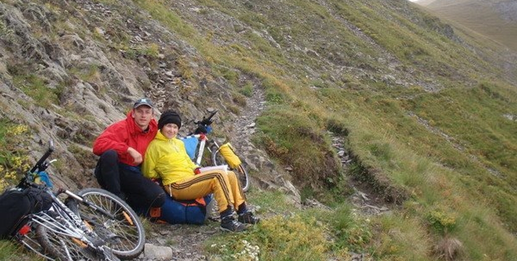
Mountainous relief, soil (25km).
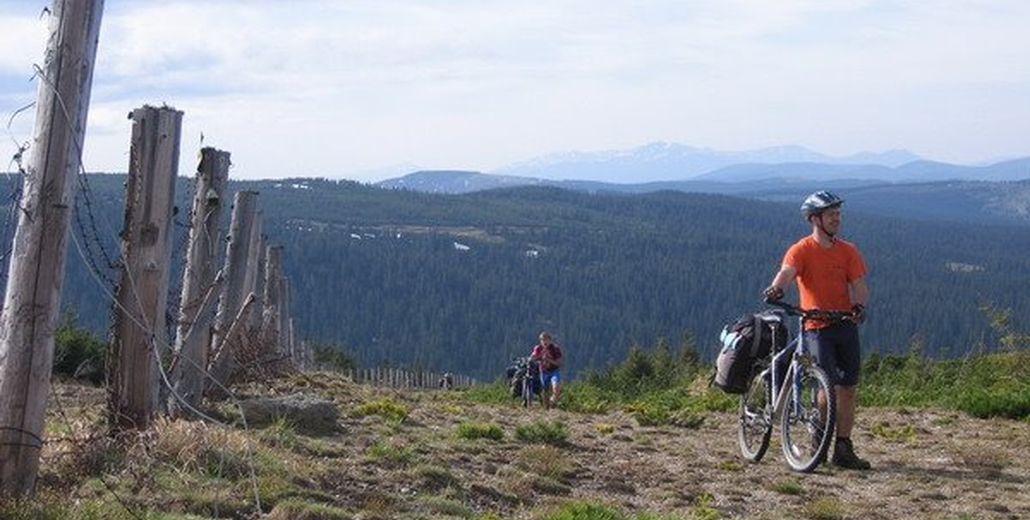
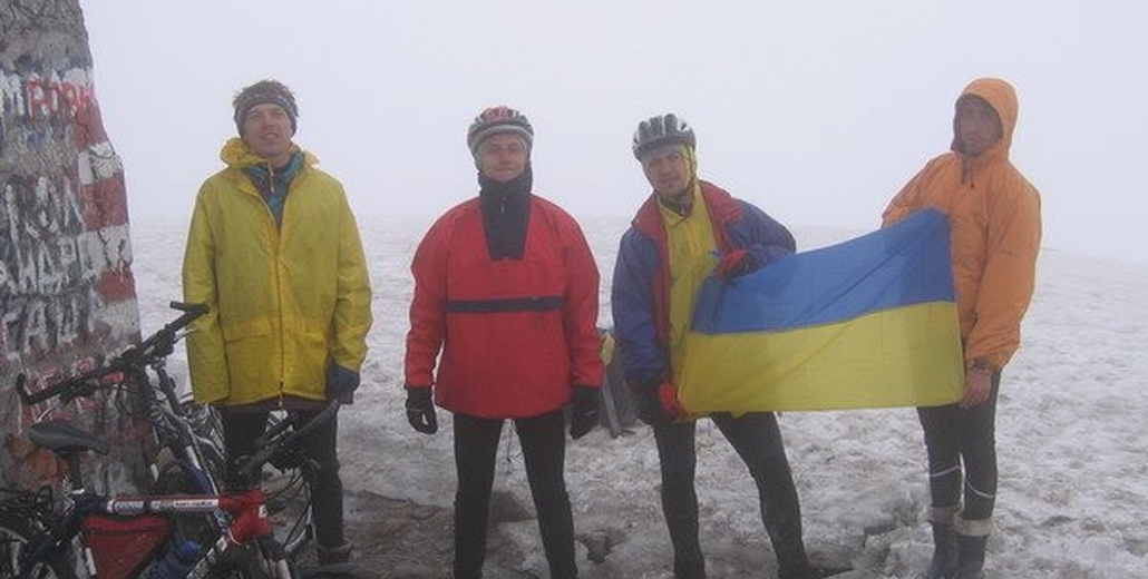
Have breakfast and go to the mount Lisniv. All around is forest, berries and mushrooms. After difficult ascent, proceed to a polonyna of Lisniv (1200m above the sea level), go forward by the ridge, overcoming its vertices, which rewards us with exiting descents. From the top of the ridge view marvelous landscapes of Gorgany and the whole Chornogirs'kiy Range. There make photos and return to lodge to have lunch before our way home. Got best impessions and a plenty of positive energy we depart to Ivano-Frankivsk.
Interestingness of a day:
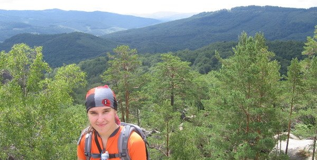
Wonderful landscapes: you can view endless expanses of mountainous forests and polonyna-valley.
Gorgany: It is a system of mountain ranges at the outer band of Ukrainian Carpathians, situated in Ivano-Frankivsk and Transcarpatian regions. It extend for 75km from the north-western part of Myzunka to the south-eastern part of Prut's valley, and its width from west to east amounts 40km.
Mountainous relief, soil (25km).